"Elected Silence, sing to me
And beat upon my whorled ear
Pipe me to pastures still and be
The music that I care to hear."
The Habit of Perfection, Gerard Manley Hopkins
Today I walked across the last field in England. A field that I had first wondered about as I viewed it from the high walls of Chepstow Castle, over on the western bank of the river Wye. This quiet pasture, Edward Thomas' archetypal "acre of land between shore and the hills", occupies a sloping promontory around which the tidal section of the river curves as it cuts through oolitic limestone before feeding the water hungry Severn estuary. Two miles to the south-east a still extant section of bank and ditch marks the southerly starting point of the eighth century Offa's Dyke, commencing its monumental 150 mile peregrination of the Welsh Marches to the banks of the Dee estuary in the north. The dyke formed an intermittent constructed boundary, a physical marking of territorial desire, between Anglo-Saxon Mercia and the Welsh kingdoms to the west. It can be traced again, on the map and ground, just north of the field. In parts of the southern Marches the Wye forms a proxy boundary, a more powerful line of division than any human construct. Perhaps the meander traversing the field of interest here fulfilled this role; or maybe the meadow's landward boundary is a ghost memory of a stretch of the dyke long levelled, marooning the field itself as a mini no-mans-land, neither Saxon nor Welsh? Today the middle of the Wye (more properly Gwy in Welsh) is decorated with alternate black dashes and spots on the Ordnance Survey map, marking the coming together of Gloucestershire and Monmouthshire, of England and Wales.

There is something both inviting and slightly daunting in the thought of studying the micro-landscape of a single field. A small matter for a master such as Richard Jefferies who can devote a whole chapter to dwelling on the minutiae of the topography, flora and fauna of the 'homefield' in Wild Life in a Southern County, but more of a challenge to most of us, lacking the innate knowledge of the Victorian country-dwelling naturalist. Nevertheless, it is an approach that retains its appeal, witness Tim Dee's recent Four Fields, an expansive study of the geography, history, literature and ecology of varying, and admittedly atypical, areas of fields in the Fenland of Cambridgeshire, Zambia, Ukraine and Montana, USA; or The Plot by Madeleine Bunting, "a biography of an English acre", rooting a story of family history in a very particular place. A personal favourite is At The Water's Edge, John Lister-Kaye's journal of his observations on a daily circular walk to a modest Scottish hill loch; in the author's words, "turning its pages and dipping in, I realise it has taken me over thirty years to cover little more than a mile".
 My intention here is less ambitious than the above tracts, but I do hope to give a voice to the overlooked places that are all around us: an on-going theme of this blog, but one that I feel has plenty more territory to explore. It is the limitless anonymous rural places that often seem absent from today's landscape discourse; lacking the profile of landmark and touristic countrysides, urban edgelands or even maligned agri-business prairie lands. John Clare knew and spoke for these unheralded places, for instance in his poem Stray Walks: "How pleasant are the fields to roam and think, whole sabbaths through unnoticed and alone". Such terrain forms the background montage for a thousand views, taken for granted; the landscape equivalent of the Jones-Bonham dependable rhythm section underpinning Page-Plant's front of stage howls and riffs. And therein lies the magic, far from the one-dimensional vision conjured by landscape platitudes: green and pleasant land, outstanding natural beauty, national treasures. Its the thrill of a spatial portal to new ways of seeing past, present and possible futures, in plain sight but obscured by ordinariness; an open invitation to new adventures in topography, accidentally esoteric: providing the opportunity to, in Phil Legard's words, take "a small step into the realms of psychegeographic reverie". Dozens of examples exist on any Ordnance Survey sheet or Google Earth view, waiting to be discovered, mapped but unknown: hedges, walls, fences, quarries, pits, fords, bridges, tracks, barns, streams, springs, wells, weirs, ditches, ponds, copses, brakes, lynchets, pylons, sewage plants, tumuli, windmills, dovecots, and on, and on.
.jpg) Its through such a portal, a hedge, that the protagonists of Ben Wheatley's A Field In England enter the titular field in which the narrative of the whole film is set, seemingly entering a parallel universe a world away from the Civil War skirmish taking place on the other side of the bushes. There they seek arcane and possibly diabolical knowledge or treasure, we do not find out what. Magic mushrooms - psilocybin - abound in the host field, and help to fuel a psychedelic trip into madness and beyond; an original perspective on the upheavals of the English Civil War.
Its through such a portal, a hedge, that the protagonists of Ben Wheatley's A Field In England enter the titular field in which the narrative of the whole film is set, seemingly entering a parallel universe a world away from the Civil War skirmish taking place on the other side of the bushes. There they seek arcane and possibly diabolical knowledge or treasure, we do not find out what. Magic mushrooms - psilocybin - abound in the host field, and help to fuel a psychedelic trip into madness and beyond; an original perspective on the upheavals of the English Civil War.The historical setting here is Monmouthshire (which, administatively at least, had an ambiguous status at this time as to whether it was within England or Wales), on the western bank of the Wye. My field lies on the eastern side of the river in Gloucestershire, but mirrors something of the atmosphere of the film. It does not take much of a leap of the imagination to picture a rag-tag group of Civil War renegades passing through in search of an inn, a passage home or maybe some natural psychedelics to temporarily banish the horrors of the conflict.
 |
| The field annotated in green on the modern Ordnance Survey map; extract from Digimap. |
 |
| Ordnance Survey map extract, from Digimap. |

The line of the old boundary along the middle of the field mirrors the curve of the river and follows what, on the ground, is the visible edge of a natural river terrace. This morphological symmetry with the river is shared by a ditch along the western edge of the field, running into the pond and encased by a thick hawthorn hedge. Crossing the field I am naturally drawn to a single oak standard holding centre stage, its trunk surrounded by large limestone blocks and pieces of brickwork; what structure they have come from is not immediately obvious. Below the river terrace three ducks enjoy the last mud of winter flooding, the grass and clover of the water meadow providing rich grazing for the cattle occupying the field. The murky morning stillness is studded by the scat singing of great tits, and the echoing calls of seagulls and rooks. Perambulating the boggy perimeter and surveying the rising ground of the field I muse on the people who have toiled in these acres over centuries: what thoughts did they share on the Norman uber-hooligans who established the castle on the cliff opposite? Did they consider themselves to be Welsh, English or something in between? The Forest of Dean borderlands with Wales, in contrast to the Welsh Marches further north, are characterised by a marked absence of 'Welshness' in terms of surnames, place and field names, but this has always been a land apart from the more generally accepted norms of nationality.

Eventually I reach the northern end of the field, with the muddy Wye beyond and the steeply wooded opposite bank just starting to come into leaf, vivid greens permeating the dull greys and browns of retreating winter austerity. Here is great potential for some landscape archaeology prospecting. For somewhere in this corner of the field lie the buried remains of the chapel of St David's, a few metres north of its boundary is the postulated river crossing of the Roman military road from Caerleon to Gloucester and a short way into the adjacent Chapelhouse Wood the bank and ditch fragment of Offa's Dyke. When, last summer, I originally noticed this large field from the castle and lodged a vague mental note to have a closer look sometime I had no knowledge of this archaeological treasury; another example of the extraordinary wealth of historical interest and local stories connecting with wider narratives seemingly to be found within any randomly selected part of the British landscape.
 |
| Map courtesy of Natural England, based on Ordnance Survey ST59SW map Crown Copyright |

Prior to the visit I was aware that the line of the Roman road was in this vicinity, but had not appreciated that the accepted site for the crossing of the Wye (via a wooden bridge, the footings of which have been found at low tide and were observed by the nineteenth century antiquarian George Ormerod: "paralled lines of black remains of stakes are clearly seen at low tides crossing the bed of the river") was so close to the field (see photo above). The road ascended Alcove Wood (following the line of the Chepstow/ St. Arvans parish boundary) on the opposite side of the river and then ran uphill to Tutshill to join the present A48, which still follows the line of its Roman ancestor. The section from the river to the modern road is not visible on the ground, but appears as a track as recently as the 1920's Ordnance Survey map. This map also indicates Striguil Bridge (remains of) at the above location and site of St David's Chapel in the adjacent corner of the set of fields on the promontory.
 The fantastically named Archaeologicia or
Miscellaneous Tracts Relating to Antiquity (Vol 29) published by the
Society of Antiquaries of London in 1842 notes a thirteenth century
reference to the chantry chapel of St David's "juxta potem de Strugell",
which later became a possession of Striguil (Chepstow) Priory, and also that the remains of the ruined chapel were visible in 1814. The same book also
seems to suggest that the antique wooden bridge was still extant, though
ruinous, as mentioned in Leland's Itinerary of 1535-43 and
quotes a later sixteenth century source for the bridge being "clean
carried away"; although these references may be to an earlier bridge on
the site of the current iron road bridge just downstream. A cursory
examination of this section of the field yielded no visible 'humps and
bumps' earthworks indicating the location of the chapel, and the whereabouts of Chapelhouse Farm,
mentioned in some sources is not verified by any of the historical OS maps.
The fantastically named Archaeologicia or
Miscellaneous Tracts Relating to Antiquity (Vol 29) published by the
Society of Antiquaries of London in 1842 notes a thirteenth century
reference to the chantry chapel of St David's "juxta potem de Strugell",
which later became a possession of Striguil (Chepstow) Priory, and also that the remains of the ruined chapel were visible in 1814. The same book also
seems to suggest that the antique wooden bridge was still extant, though
ruinous, as mentioned in Leland's Itinerary of 1535-43 and
quotes a later sixteenth century source for the bridge being "clean
carried away"; although these references may be to an earlier bridge on
the site of the current iron road bridge just downstream. A cursory
examination of this section of the field yielded no visible 'humps and
bumps' earthworks indicating the location of the chapel, and the whereabouts of Chapelhouse Farm,
mentioned in some sources is not verified by any of the historical OS maps.
However, the nearby Roman bridge site and surviving dyke were all the
excuse I needed to duck through the barbed wire fence bounding the field and
enter the briar and bramble of the liminal terrain beyond.
Scrambling along the shoreline a rocky promontory looked a likely abutment for
a bridge, the thick mud below perhaps hiding further evidence of Roman
engineering below. The steep wooded river bank here was at once archetypal of
the British Isles - carpeted by bluebell and anemone, ivy clad yews - but
simultaneously, looking across the wide, brown river, a vision of riverine Amazonia;
a place to inspire Fitzcarraldo dreaming. An informal path snaking through
this rain forest facsimile is a reminder that such places are beyond
the allegedly definitive truth of the Ordnance Survey map and the supposedly
all seeing eye of Google Earth.

Having found the remnant bank of the Dyke, darkly entombed by towering and toppled larch, an excursion upriver was now in motion, following an old fisherman's path through a nature reserve at the foot of gigantic limestone cliffs. The scene here further evocative of South American sublime grandeur, particularly when crossing a rock fall, the black boulders stretching upwards into Andean infinity. The limestone from these now silent cliffs has in the past been heavily exploited for use as building material, the Wye providing a convenient route for transporting the heavy loads by boat to the Severn Estuary and beyond. A vernacular design of craft particular to the river was the flat-bottomed trow, many of which plied their trade between the Wye and Bristol; a historical memory kept alive through the name of a well-known Bristolian pub dating from 1664, the Llandoger Trow.


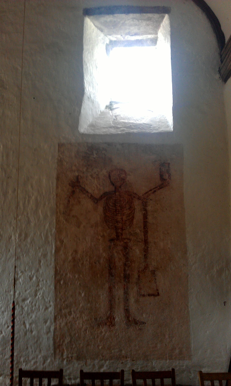
Just around the next bend in the river lies the peninsula of Lancaut (from the Welsh, Llan Cewydd), a pulse of land cut-off by Offa's Dyke as it heads north with no time for diversion. The small parish of Lancaut within the manor of Tidenham was a settlement of some size by the fourteenth century, but progressively shrunk to its current single farmstead in the subsequent centuries to become one of countless examples of the deserted medieval village. Here was established an early British monastic settlement, named for St Cewydd (first reference c625). A ruined church named St James', its fabric dated to late 12th century, now stands on the site and may have served time as a leper colony for Chepstow Castle. In fact, this remote church seems to have had something of an itinerant and varied history of ownership, use and status and was ruinous by 1885.
The church and its location are almost impossibly picturesque and atmospheric, though on a damp and misty April day a sense of Gothic melancholy is at large. In fact the roofless relic brings to mind the scenes set in ruined churches in The Wicker Man and the lesser known 'folk horror' offering Blood On Satan's Claw. Although a solitary visitor today, I am accompanied by the celluloid ghosts of Sergeant Howie and Angel Blake. If the recently revived Hammer Films are on the look out for suitable locations then here they have one that would admirably meet their needs.
 |
| Still from The Wicker Man (from www.diaboliquemagazine.com) |

 |
| Still from Blood On Satan's Claw (from www.hickeysonic.wordpress.com) |


 "The clifftop situation, the stern fortification of the earliest parts and the sumptuous enrichment of later ones, combined with the exceptional completeness of so much, make Chepstow Castle one of the most exhilarating and instructive castles in the whole of Britain" (The Buildings of Wales: Gwent/ Monmouthshire, Newman).
Back to the field: although it is the river that in many ways defines its topography, history and character, the dramatic backdrop of Chepstow Castle, a rock-bound menhir looming across the water, dominates the view from within its bounds. Chepstow and Monmouthshire, like Berwick on the English-Scottish border, have had a forced history of national schizophrenia, mostly Welsh in character and population but administratively a more unclear status. The castle has remained a constant, dominating the town since its foundation by the Norman lord William FitzOsbern in 1067 at the southern end of the chain of fortifications bestriding the Welsh Marches.
The "steep and lofty cliffs" of the Wye that "connect the landscape with the quiet of the sky" made a lasting impression on Wordsworth during his visit in 1793, as recorded in Lines written a few miles above Tintern Abbey from Lyrical Ballads. At the same time the Wye was gaining popularity as part of the nascent touristic itinerary, with artists also drawn to its natural and historic wonders. The picturesque ruins of Chepstow castle high up on their limestone cliff particularly attracted the painterly gaze.

The field's position on the opposite bank of the river, with a clear view of the length of the castle's fortifications strung out along the cliff top, is an obvious vantage point for an artist to take up position. Below are a number of paintings of the castle that may have been painted from the field, or include it as part of the scene.
 |
| Chepstow Castle, 1905, Philip Wilson Steer (from http://www.tate.org.uk/art/artworks/steer-chepstow-castle-n02473) |
 |
| River Wye ('Chepstow Castle'), c1806-07, Joseph Mallord William Turner (from http://www.tate.org.uk/art/artworks/steer-chepstow-castle-n02473) |
 |
| View of Chepstow, c1750, artist unknown (from http://www.bbc.co.uk/arts/yourpaintings/paintings/view-of-chepstow-159348) |
.+Chepstow+Castle+belonging+to+his+Grace+the+Duke+of+Beauford.+(Monmuthshire)..jpg) |
Chepstow Castle belonging to his Grace the Duke of Beauford.
(Monmuthshire), Joannes Kipp (from
|
Reflecting on the experiences of the day, my mind is taken
back to the field of my childhood. We knew this place as the ‘Echo
Meadows’, whether this was our made up name, local lore or a genuine field name
I do not remember. Here the meadow abutted the massive sandstone outer walls
of a Norman-medieval castle, and was bounded by the curve of a stream. Hours, days
and weeks were spent roaming and lolling around this field, mapping on foot and
on paper its everyday features, imbuing them with significance: ‘bully bridge’,
the ruined sheep dip, the overgrown holloway – a hidden space for watching, like
an apprentice rogue male. This is a place much like 'The Field', an area of old parkland adjacent to the 1950's Metroland suburban home that Richard Mabey describes in his extended essay, A Good Portion of English Soil; a wild playground for the local children in which "'Nature' was something we all took for granted, like an extra layer of skin".
But it is not just children who can enjoy playgrounds. We should all remember that the landscape is waiting for us to learn from it, to adventure into it. Go and find your field.


.jpg)


References
Hammond, J (Ed.), 1965. Red Guide: The Wye Valley. Ward Lock.
Hart, C, 2000. Between Severn (Saefern) and Wye (Waege) in the Year 1000. Sutton.
Hill, D & Worthington, M, 2003. Offa's Dyke: History and Guide. Tempus.
Hopkins, G, 1966. Gerard Manley Hopkins. Vista.
Legard, P, 2011. Psychogeographia Ruralis: Observations concerning landscape and the imagination. The Larkfall Press.
Lister-Kaye, J, 2011. At the Water's Edge: A Walk in the Wild. Canongate.
Mabey, R, 2013. A Good Parcel of English Soil. Penguin.
Newman, J, 2000. The Buildings of Wales: Gwent/ Monmouthshire. Yale University Press.
Walters, B, 1992. The Archaeology and History of Ancient Dean and the Wye Valley. Thornhill.
Wordsworth, W and Coleridge, S, 1924. Lyrical Ballads, 1798. Oxford University Press.